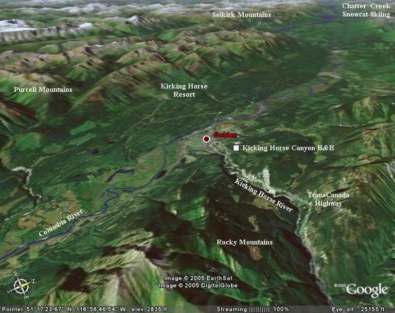
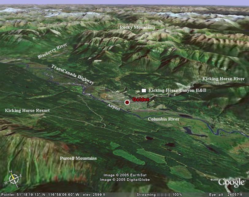
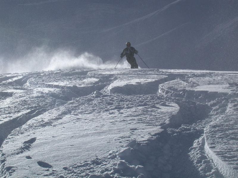
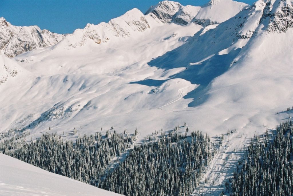
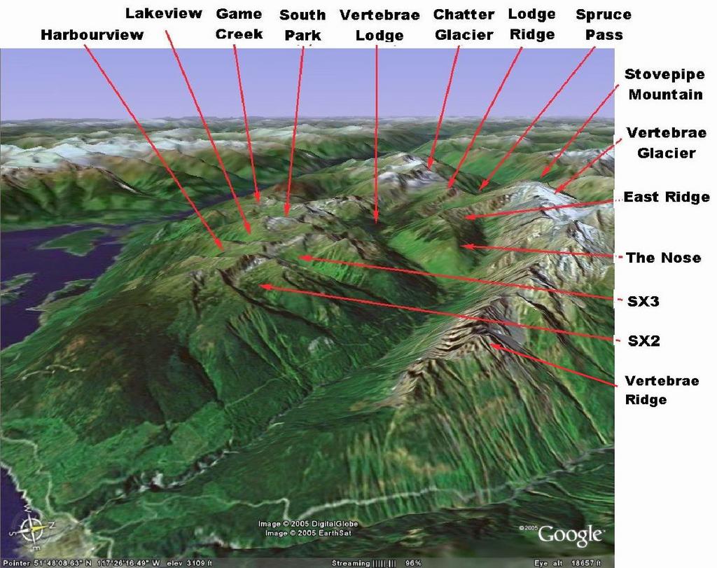
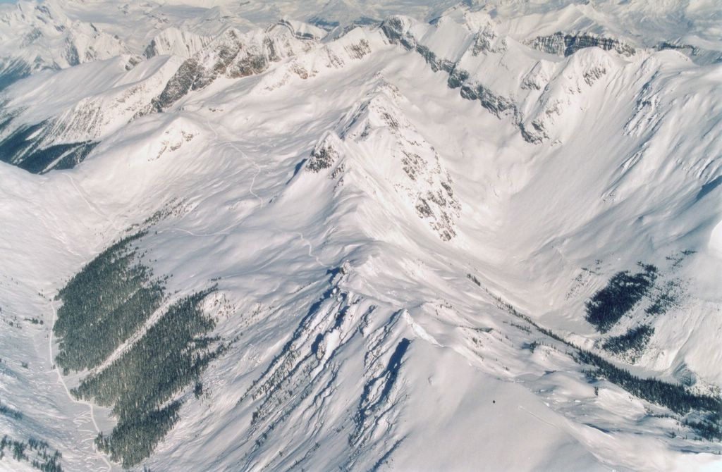
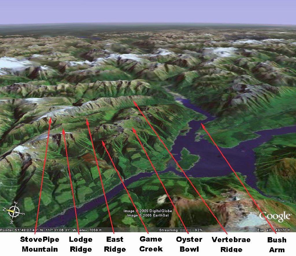
 This "Google Earth" 3D satellite image shows the approximate outline of the Chatter Creek cat skiing tenure after the expected additions. The view is from the south, looking west of north from an elevation of about 21 miles. Scroll down for more views of the terrain surrounding Chatter Creek.
Part of the Columbia River, Kinbasket Lake, to the west of Chatter Creek, is formed by the Mica Dam hydroelectric power project, far to the north. The extension of Kinbasket Lake to the east is Bush Arm, the outflow of the Bush River. The helicopter flight that transports guests from Golden airport to Chatter Creek passes beside Kinbasket Lake and crosses Bush Arm.
posted by Chatter Editor @ 8:00 PM
0 comments
![]()


0 Comments:
Post a Comment
<< Home